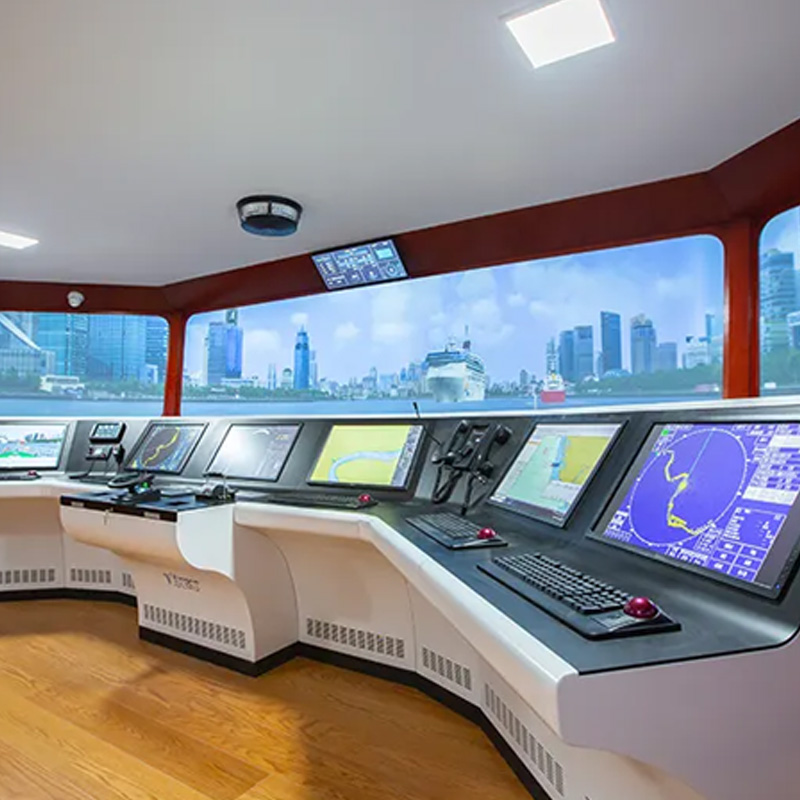
The simulator data editing toolkit includes Ship Mathematical Modelling Editor, Training Waters Database Editor,3D Model Editor, Chart Editor etc.
It provides data support for port design, seafarer training, navigation demonstration and evaluation and maritime incident investigation.
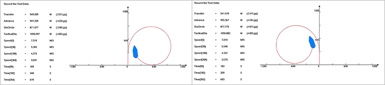
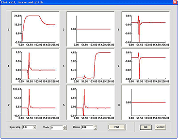
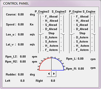
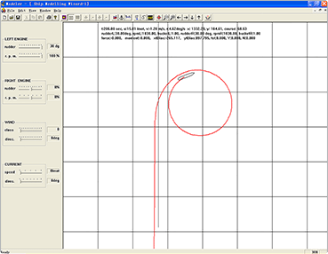
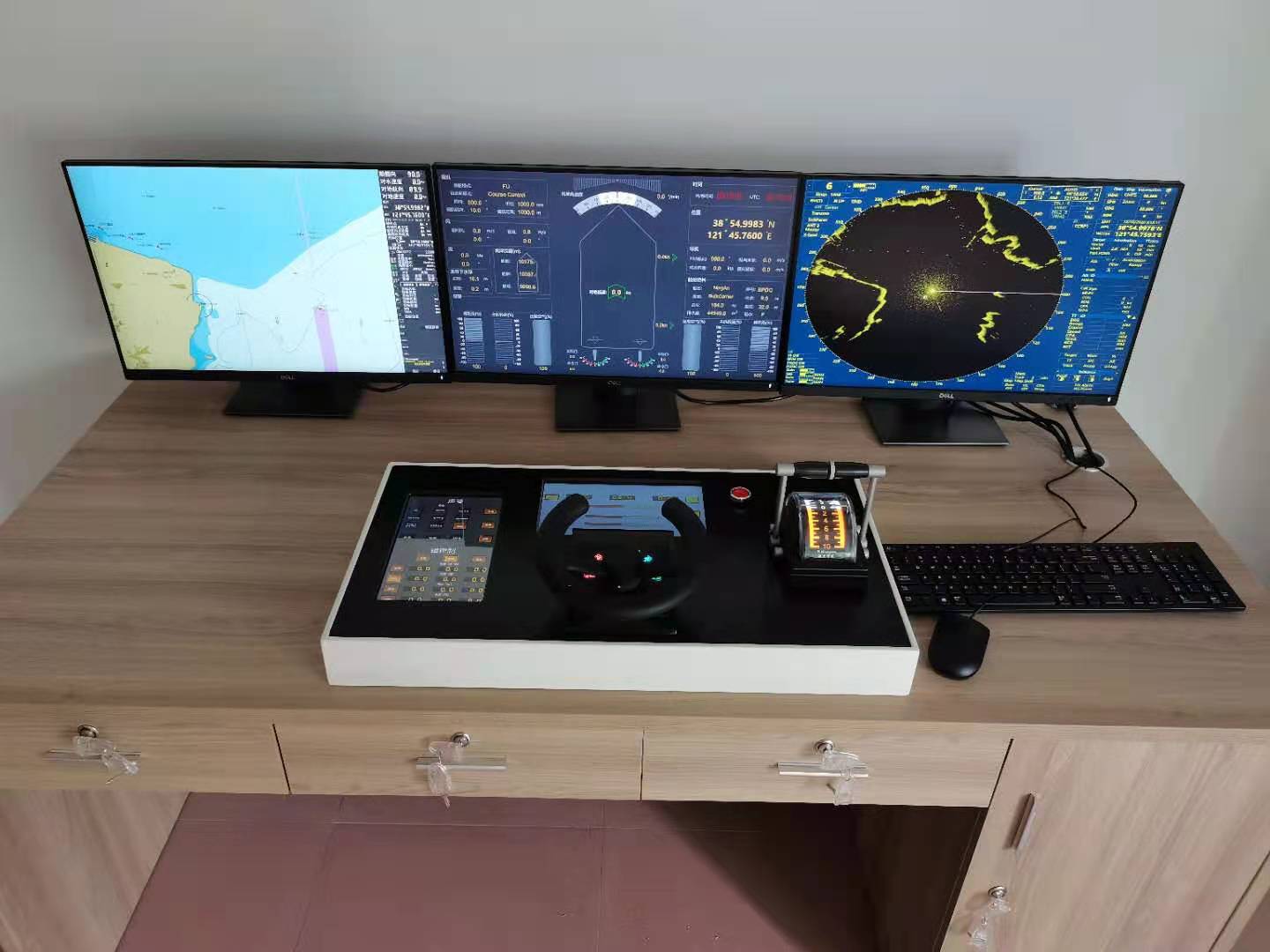
The software can be used to edit the parameters of ship motion model and generate ship motion models with different tonnage, ship type and propulsion mode.
• Edit ship hydrodynamic parameters
• Set environment such as wind and current
• Offline test
• Real test


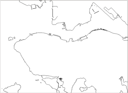
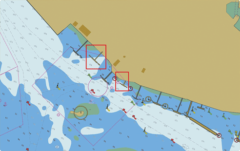
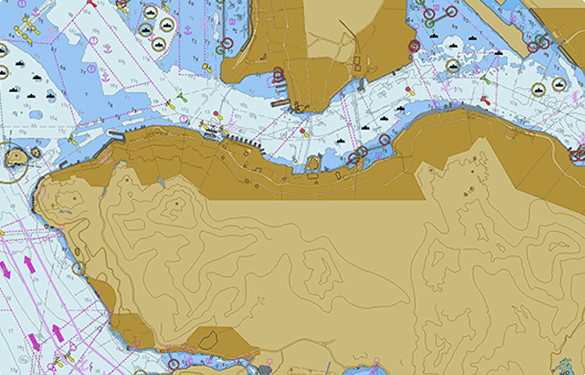
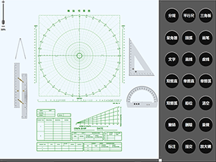
S-57 vector chart can be edited and provide customized personalized services for users.
• Digital Raster Charts
• Creating and maintaining vector charts
• Editing/Creating Feature Objects

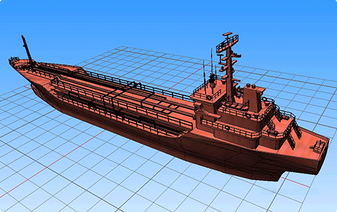
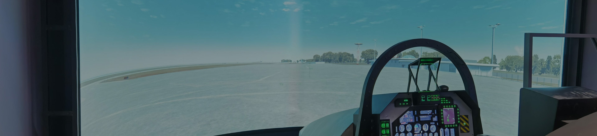
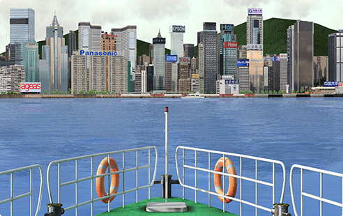
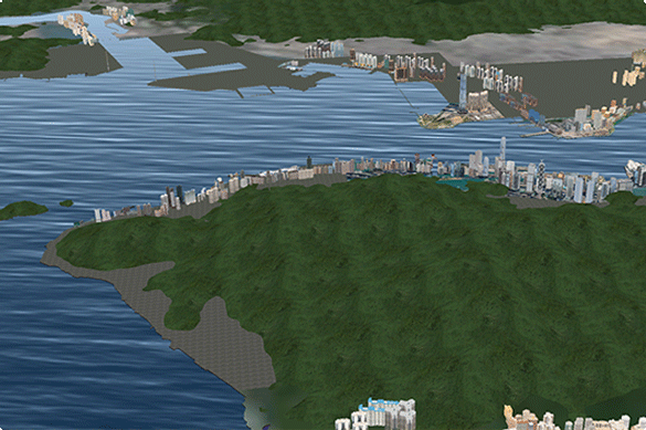
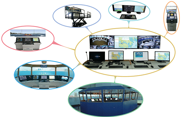
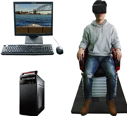
It can be used to produce and edit training water scene and ship three-dimensional model, including:
• Land buildings, wharf facilities
• Geomorphology, underwater topography
• Navigable vessels
• Navigation aid facilities

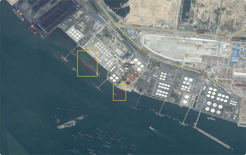
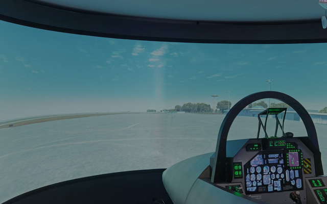
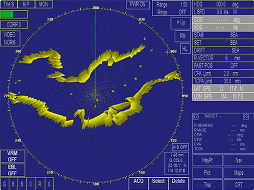
Training waters database can be generated from official vector chart and hydrological survey data, including:
• 3D port elevation data
• Shoreline data
• Radar data
• Navigation aid facilities data
• Soundings data
• Current flow field data


Copyright © EtoneMarine 2022-2023 All Rights Reserved TEL:+86 022-65161686![]()
![]()
![]()
![]()
![]() 津ICP备2022004017号
津ICP备2022004017号


 Technical support
 Online consultation
 Telephone contact